

Heavy winter storm moves into Nashville – what to know
A massive winter storm is making its way toward the South this weekend, a slow cell that will most likely sit over the Nashville area for up to 36 hours. Here’s what you need to know:
The storm is expected to start in the evening on Friday, the 23. Heavy snowfall is expected Saturday, the 24, with up to 10 inches predicted. Saturday’s low temperature will be 17°F, the high 28°F, however, with the expected wind chill and storm, the actual feels-like temperature will most likely feel far colder.
Continuing through Sunday, the storm is expected to last until at least noon. More snow is expected, anywhere from three to eight inches falling throughout the day. Bear in mind that all of these numbers are continually changing, as the weather models shift.
The two main forecast models used by meteorologists are currently in slight dispute, one calling for less snow over Nashville, but freezing rain or sleet added into the mix. The other calls for more snow, but no freezing rain or sleet, according to meteorologist Gary Achtemeier.
“It’s going to be a 36 hour storm, and it looks like it’s going to have two parts,” explained Achtemeier. “It’s going to come in hard and hit, and then slack off in the middle, then pick back up toward the end… it’s a two punch kind of a system.”
Though there is definitely the possibility of a power outage, Achtemeier recommends remaining in the Nashville area for the storm. “The city will have the greatest responsibility to get the power back up,” he said. “Rural areas, you may be without power for a good while. They won’t have as much motivation.”
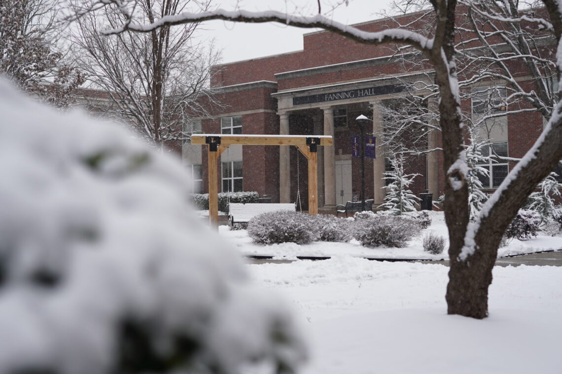
Lipscomb University is equipped with several permanent generators, in the event of a bad storm such as this one. According to Kim Chadouin, Lipscomb’s vice president of communication and marketing, one of these generators is in the Bennett Student Center, to ensure that there will always be power for the dining options, to serve residential students.
That said, swinging by a Target or Kroger before the storm begins and grabbing some non-perishable food items, such as canned soup or ramen, may not be a bad idea. Especially since, Achtemeier says, this isn’t the first round of winter weather Nashville will face.
The next weekend, at the end of the month, Nashville will see another arctic front move in over the city. This one will bring wintry temperatures that have the potential to drop below zero. Not good, for a Southern city whose average low winter temperature is around 31°F.
“It’s farther out, so it’s still slightly uncertain, but they’re calling for temperatures up to five or 10 below zero,” Achtemeier said. “You’re looking at record-breaking temperatures… the best thing to do is just sit tight and let the events occur.”
Lipscomb is equipped with cold-weather contingencies, and teams are ready to salt the campus on Friday before the storm begins in earnest. They will also begin plowing as soon as the snow fully stops, to avoid repeated shoveling. Though Lipscomb doesn’t cancel classes “except in the rarest of circumstances,” according to an email sent out to students Thursday afternoon, students will be notified via email if classes are canceled.
During these storms, let your faucets drip and have bottled water and non-perishable food on hand. Fill up your gas tank, charge your electronics beforehand and make sure you have your cold weather gear easily accessible.
“When the storm is at its peak, you’re gonna want to stay inside,” Achtemeier said. Luckily for those in Nashville, though the storm does have the potential to be a rough one, the peak will hit in the wee hours of the morning.
Featured image taken by Forest Maners.